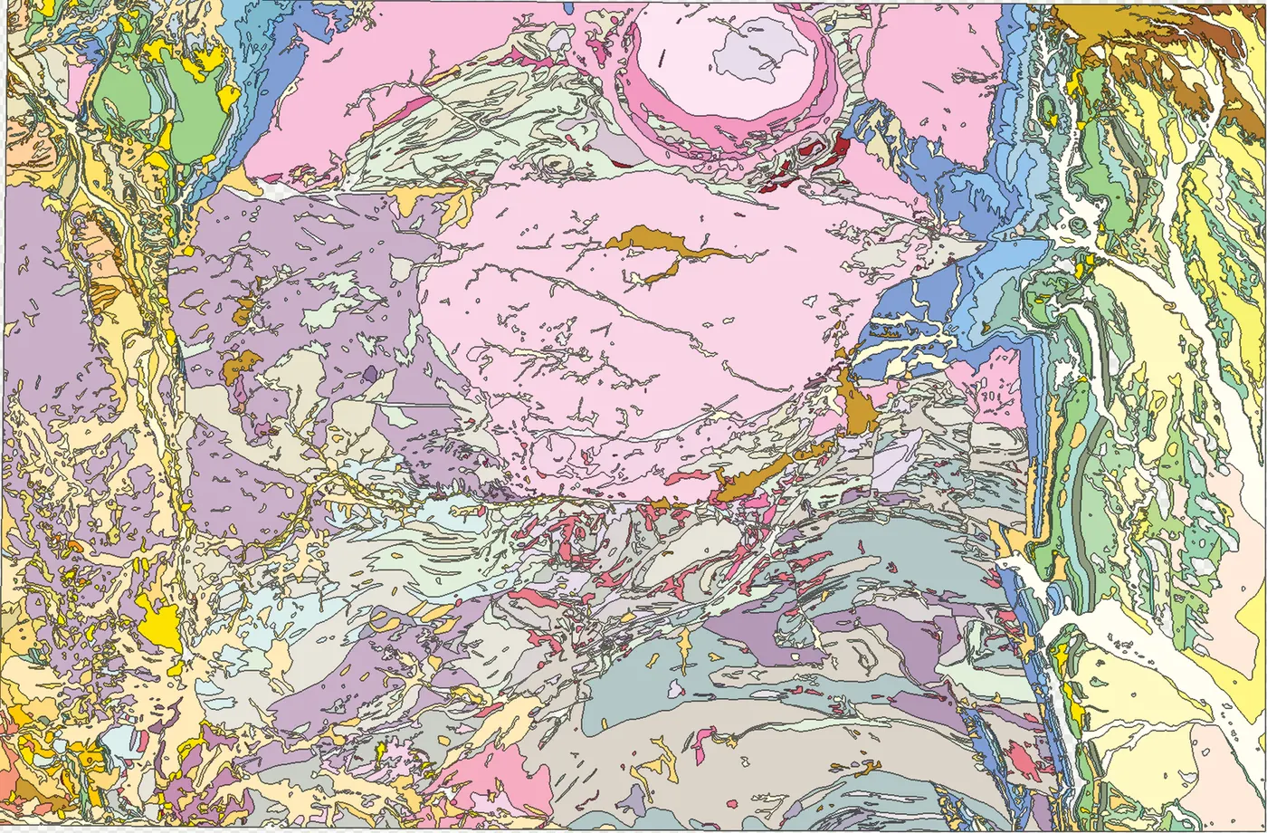
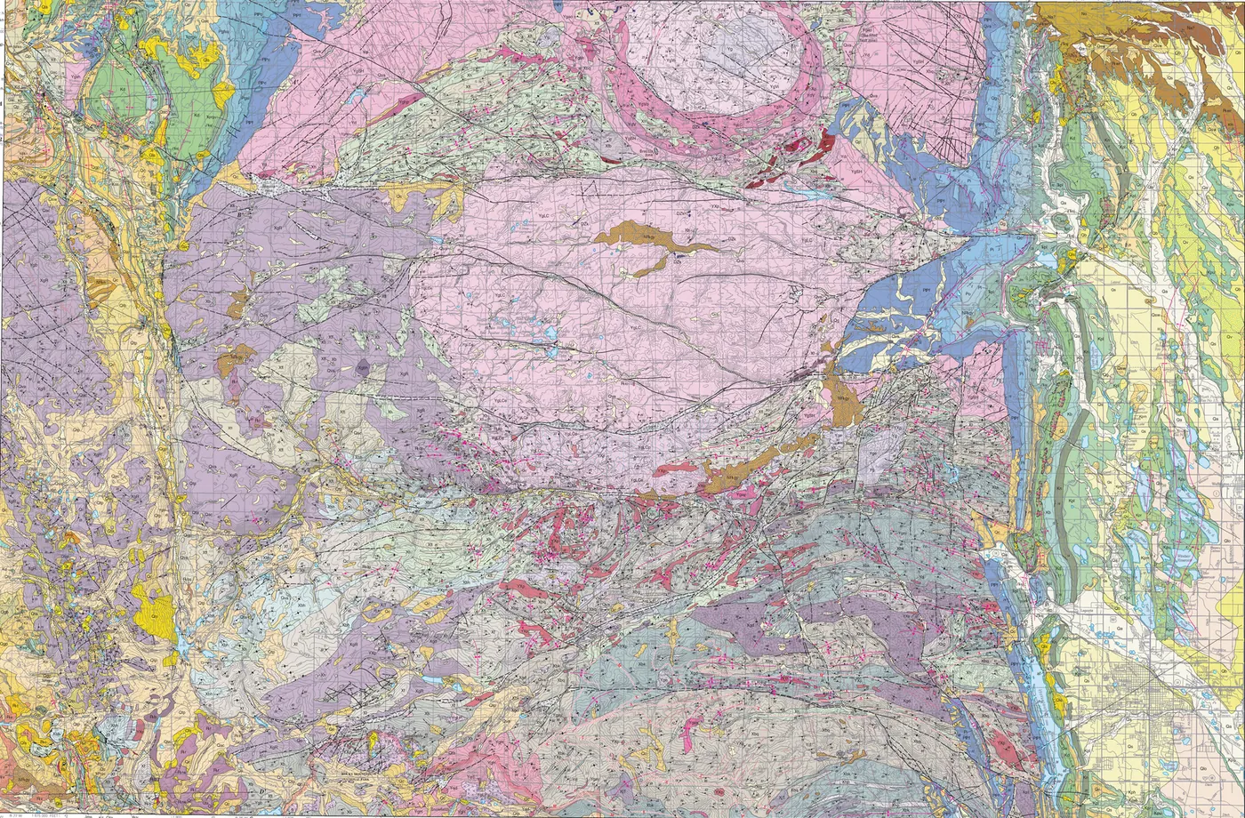
Our AI systems converted the original map imagery into machine-readable vector geometry while preserving the spatial relationships encoded in the original cartography. Rather than treating a geological map as an ordinary image-classification problem, our map-processing system uses the structure and conventions of the individual sheet itself to recover meaningful geographic features.
Finding it in the real world
That still left a harder problem: where were those features on the ground? The original sheets contained enough surviving spatial evidence to reconstruct their location. Using the known Pulkovo coordinate system of the source sheets together with identifiable named features whose modern coordinates could be independently established, the AI recovered the geographic transformation between the historical map and modern spatial data.
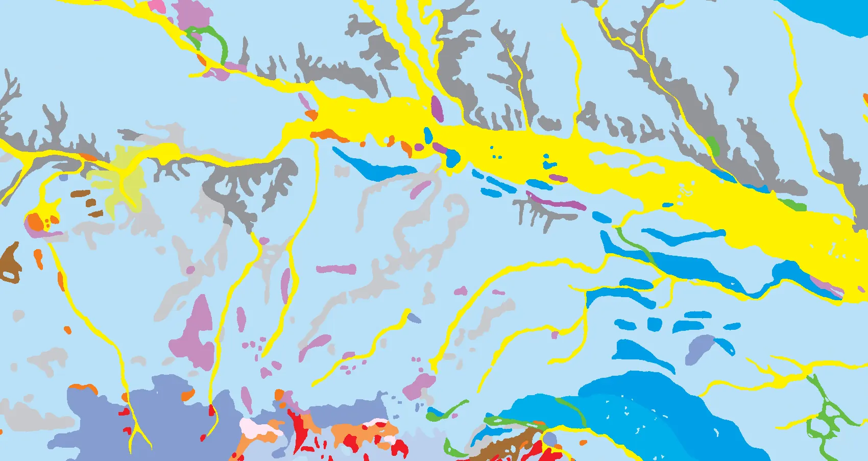
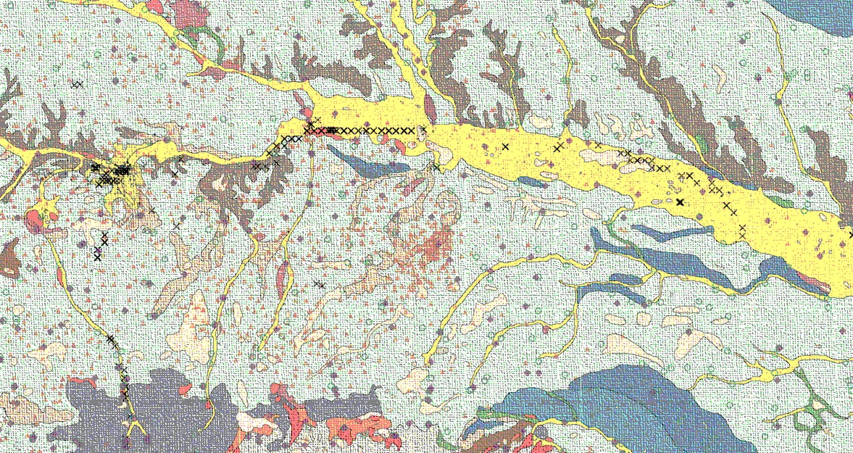
─ Same sheet, both halves · 42 boreholes carry coordinates once vectorised · hover, or focus the plot and use the arrow keys
─ A separate worked example, from a US sheet published in full on our map-vectorisation demo. Geology polygonised from eval masks; borehole sites from a public survey database.
The result
Once that relationship was established, the boreholes could be transformed from marks on a scanned Soviet map into georeferenced vector features — queryable, comparable with modern datasets, and ready to feed contemporary GIS and AI workflows. In short, a useful digital geological dataset recovered from records that, at first glance, contained neither machine-readable geometry nor directly usable borehole coordinates.
For the client, the result was between 4 and 6 weeks and over $4,000 saved.
For us, this is a core part of geological AI. There is an enormous amount of geological knowledge sitting in historical maps, reports and archives around the world. Before models can reason over that information, somebody has to make it computable.
Work with us
Sitting on an archive nobody has been able to use?
If you hold historical maps, reports or scans that have never been made computable, we would like to hear about it.